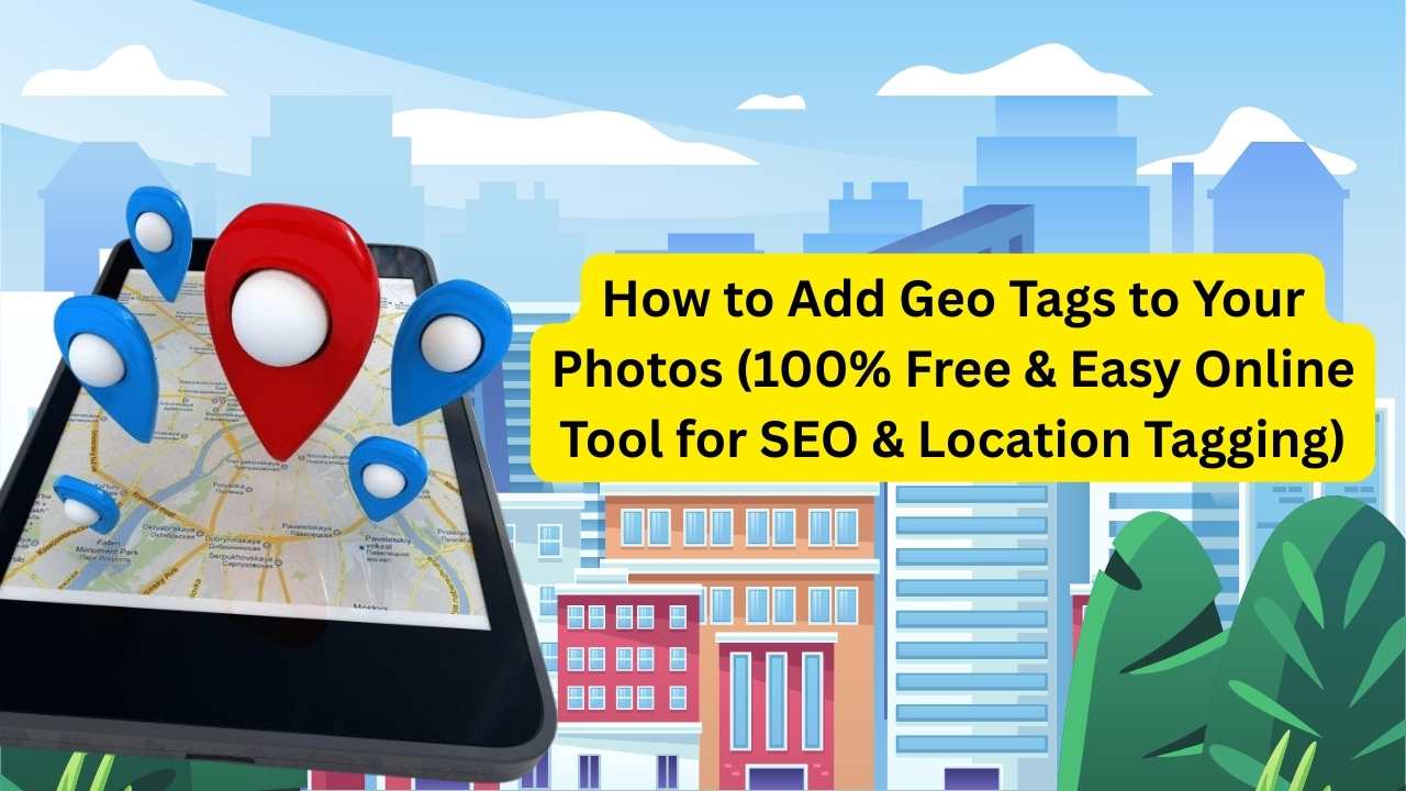
Geo Tag Photo Online – The Easiest Free Tool for Everyone
Do you ever wonder where your photo was taken, or want to show it on a map?
That’s where geo tagging comes in. But most tools charge money or support only a few image formats. That’s why we built a 100% free tool that lets you upload, edit, and download photos with geo tags with EXIF — and it works with JPEG, PNG, JPG, and WebP images. No hidden fees. No sign-ups. Just simple and fast. Let’s explore how this amazing geo tag photo tool helps you manage your images like a pro—even if you’re not one.
Easily check the exact place a photo was taken.
Works with any image that has geotagging turned on, like those taken from your phone.
Add geo tags to your images and rank higher in local search results.
Perfect for websites, Google Business profiles, and local services.
Upload photos and tag their locations quickly — great for work and inspections.
No app or installation needed
📸 What is Geo Tagging?
Use this paragraph section to get your website visitors to know you. Write about you or your organization, the products or services you offer, or why you exist. Keep a consistent communication style. Consider using this if you need to provide more context on why you do what you do. Be engaging. Focus on delivering value to your visitors.
📷 Photo + GPS = Geo Tag
Who Uses Geo Tags and Why?
People all over the world use geo location tagging for different reasons
For Businesses
Use geo tagging assets, upload photos with geo tag location, and help customers find your local shop on Google. It even helps with Google My Business geotagging.
Here are a few related terms people often search:
- apa itu geotagging (what is geotagging in Indonesian)
- arti geo tagging (meaning of geo tagging)
- geotag photos meaning
- geotag gps
- geo tag picture
- apa arti geotagging (meaning of geotagging)
- awc geo tagging
- cara geotagging (how to do geotagging)
- geotag my photo
- kamera gps geotagging
How to Use This Free Geo Tag Tool
1. Upload Your Image
Supports JPG, PNG, WebP, and JPEG — most tools don’t allow all formats.
2. Edit or Add Location
Enter coordinates manually (geotag coordinates).
3. Optional: Add Notes
Add titles, keywords or project info
4. Save & Download
Use this space to add a medium length description. Be brief and give enough information to earn their attention.
Why This Geo Tag Tool Is the Best (and Free!)
| Feature | Our Tool | Others |
|---|---|---|
| 100% Free | Yes | Often Paid |
| Supports JPG, PNG, WebP, JPEG | Supports All Formats | Limited |
| No Account or Login | No sign-up | Required |
| Easy for Beginners | Yes | Complex |
| Used by Students, Marketers | Yes | Limited |

